

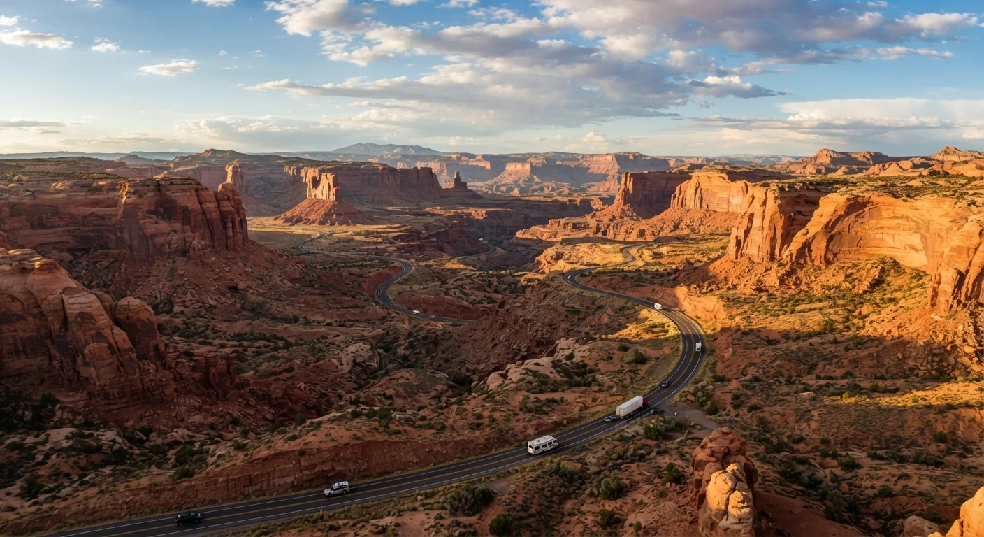
Why the Southwest Is a Road Tripper's Playground
The American Southwest - spanning roughly Arizona, Utah, Nevada, New Mexico, and parts of Colorado - packs more geological drama per mile than almost anywhere else in the country. Red rock arches, painted desert floors, canyon rims, and saguaro-studded valleys sit within a few hours of each other on well-maintained federal highways. That accessibility is the real draw: you don't need a high-clearance vehicle or extreme backcountry experience to reach most iconic stops.
Before you map your first waypoint, it's worth thinking through whether driving makes sense for your specific trip. Our guide to road trip vs. flying walks through the distance, cost, and luggage tradeoffs clearly. And if this is your first extended drive, the road trip planning walkthrough covers vehicle prep and budget basics from the ground up.
| Region Covered | Arizona, Utah, Nevada, New Mexico, SW Colorado |
| Grand Circle Loop Distance | 800-1,000 miles (Varies by specific route and detours taken) |
| I-40 / Route 66 Corridor | ~400 miles (Albuquerque to CA border) |
| Best Travel Seasons | Spring (Mar-May) and Fall (Sep-Nov) |
| Federal Pass Option | America the Beautiful Annual Pass - covers most national parks (U.S. National Park Service) |
| Minimum Days Recommended | 3-5 days (Las Vegas Loop) to 10+ days (Grand Circle) |
Four Core Routes and What to Expect on Each
Route 1: The Grand Circle (Utah-Arizona)
Connecting Zion, Bryce Canyon, Capitol Reef, Canyonlands, and the Grand Canyon's North Rim, the Grand Circle covers roughly 800-1,000 miles depending on your exact path. Most drivers base themselves in St. George or Kanab, Utah. Roads inside the national parks are paved but narrow in places; Bryce Canyon's main road is prone to afternoon congestion in summer. Plan 7-10 days to avoid rushing.
Route 2: I-40 / Historic Route 66 (New Mexico-Arizona)
Running east to west from Albuquerque through Gallup, Winslow, and Flagstaff before reaching the California border, this corridor follows the iconic Route 66 alignment for long stretches. Total driving distance is about 400 miles. Key stops include Petrified Forest National Park and Meteor Crater. The route is flat and fast - good for first-timers - but summer heat regularly exceeds 100°F in lower elevations.
Route 3: The Las Vegas Loop (Nevada-Utah-Arizona)
Las Vegas serves as a natural hub for a 3-5 day loop hitting Valley of Fire State Park, Zion National Park (via the dramatic Zion-Mt. Carmel Highway), and the Grand Canyon's South Rim. Distances between stops range from 60 to 160 miles, making daily drives very manageable. This route is especially popular with first-time Southwest visitors because it layers iconic scenery without requiring more than a week.
Route 4: The New Mexico Cultural Trail (Albuquerque-Santa Fe-Taos)
Shorter than the others at roughly 130 miles one-way, this route is ideal for travelers interested in Indigenous history, adobe architecture, and high-desert art scenes. The High Road to Taos - a two-lane mountain route through villages like Chimayó and Truchas - adds elevation and scenery. Roads are generally good but can be icy from November through March.
Grand Circle
An informal name for the loop of national parks and monuments concentrated in southern Utah and northern Arizona, including Zion, Bryce Canyon, Capitol Reef, Canyonlands, and the Grand Canyon's North Rim.
Gateway Town
A town located near the entrance to a national park or major natural attraction, typically offering lodging, fuel, dining, and gear. Examples include Moab (near Arches) and Springdale (near Zion).
America the Beautiful Pass
A federal interagency annual pass that covers entrance fees to national parks, national forests, and other federal recreation areas across the United States for a single yearly fee.
Monsoon Season
In the Southwest, a seasonal weather pattern typically running July through September that brings afternoon and evening thunderstorms, flash flood risk, and dramatic skies - most pronounced in Arizona and New Mexico.
High Road to Taos
A scenic two-lane mountain route in northern New Mexico connecting Santa Fe to Taos through historic Hispanic and Pueblo villages at elevations above 8,000 feet.
Seasonal Conditions and Timing Considerations
Season matters enormously in the Southwest. Spring (March-May) and fall (September-November) are widely considered the most comfortable windows - mild temperatures, lower crowds at major parks, and reliable road conditions. Summer brings intense heat at lower elevations, monsoon thunderstorms in July and August, and peak visitor numbers that strain parking at Zion and the Grand Canyon. Winter is viable in many areas but comes with real tradeoffs: some park roads close (Bryce Canyon's higher viewpoints, the North Rim), and mountain routes like the High Road to Taos can ice over.
Flash Flood Risk on Canyon Roads
Monsoon storms in July and August can cause flash floods in canyon areas with little warning, even if skies overhead appear clear. Before driving into slot canyon areas or low-water crossings, check weather conditions upstream. The National Weather Service and individual park websites post flood advisories - consult these before heading out on any canyon route during monsoon season.
If you're visiting multiple parks on a single trip, the multi-city trip planning approaches can help you sequence stops and manage pacing without burning yourself out on driving days.
4.7M+
Annual visitors to Zion National Park
According to National Park Service visitor use statistics, Zion consistently ranks among the most-visited parks in the U.S.
100°F+
Summer highs in lower-elevation Southwest deserts
Average summer temperatures in Phoenix, AZ and similar low-desert areas regularly exceed 100°F, per NOAA climate data.
~130 miles
New Mexico Cultural Trail one-way distance
The Albuquerque-Santa Fe-Taos corridor is one of the shortest but most culturally rich routes in the Southwest.
Practical Logistics Every Southwest Driver Should Know
Fuel and cell coverage: Gas stations thin out considerably between towns in rural Nevada, eastern Utah, and the Arizona Strip. A general rule: fill up whenever you drop below half a tank in these stretches. Cell service is unreliable in canyon areas - download offline maps before leaving populated areas.
Entry fees and passes: Most Southwest national parks charge per-vehicle entry fees. The America the Beautiful Annual Pass (a federal interagency pass) covers entry to all national parks and many federal lands for a flat yearly fee - worth calculating against your itinerary if you're hitting three or more parks.
Accommodation: Campgrounds inside parks book months in advance for peak season; gateway towns like Moab, Springdale, and Flagstaff offer a range of lodging options but fill quickly in summer. Booking early is especially important for the Grand Circle route.
For a broader orientation to planning terms and travel documentation requirements, the domestic trip planning reference guide is a useful starting point before your trip. All road conditions, park hours, and entry requirements should be verified with the relevant park or state agency before travel, as they can change seasonally.
The content on this site is for informational purposes only and is not a substitute for professional advice. Always consult a qualified professional for guidance specific to your situation.